Geodata and maps
Managing and administering geodata can be both costly and time-consuming. By using professional geodata management services, companies can avoid these costs and instead focus on their core business. In addition, these services offer a high level of support and short response times, which means that you can quickly get help when you need it.
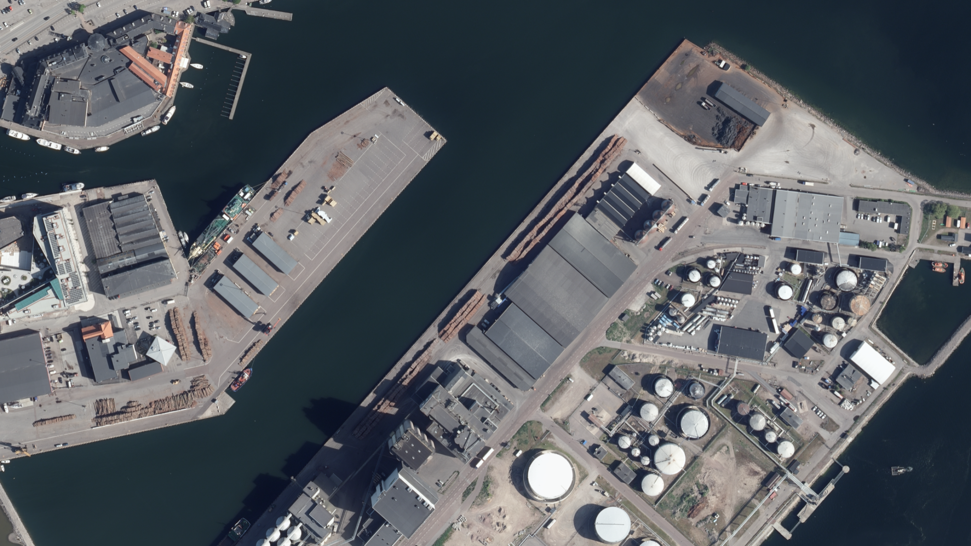
Geodata plays a critical role in many businesses by providing accurate and up-to-date data necessary for decision-making. By using quality-assured geodata, companies and organizations can ensure that they have access to reliable information, which is critical to making informed decisions.
Flexible solutions based on needs
Flexibility in data formats is another important advantage. By being able to receive data in the format that best suits your needs, it becomes easier to integrate geodata into your applications and systems. Furthermore, further processed information can give you even greater opportunities to use geodata in an effective way.
Real Estate information as support for strategic decisions
Real Estate information is a large part of these services and plays an important role in many businesses. By having access to accurate and up-to-date property information, companies and organizations can make informed decisions that positively affect their operations.

Metria - partner for professional geodata services
Metria offers professional geodata services, comprehensive and reliable geodata management solutions, valuable tools for businesses that want to focus on their core business without having to deal with the complexities of geodata themselves.
Geodata quality assurance: Metria regularly retrieves geodata from the source and quality-assures it before storing it in the geodata warehouse. This ensures that corrupt data does not reach the warehouse and onward delivery to customers, which provides security in deliveries.
Extensive expertise and resources: Achieving the same level of delivery as Metria requires a comprehensive organization and qualified expertise in geographic IT, including architecture, operations and management. Many customers choose to focus their resources on the core business and entrust the handling of geodata to Metria.
Fast and accessible support: Metria offers short response times and easily accessible support, unlike other providers who can be difficult to reach and slow to respond to questions.
Flexibility in data formats: Unlike many other suppliers who only offer data in one format, Metria can deliver data in multiple formats and also further processed information, which provides greater flexibility for customers' applications.
Cost-effective management: Managing and administering geodata yourself can be costly and time-consuming. With Metria Maps, customers avoid these costs and can be sure of always having the most up-to-date information, which is critical to operations.
Professional and reliable services: Metria Maps offers professional, high-performance and reliable base maps that are operated in Metria's own environment in Sweden. The service is continuously developed with new geodata for new types of services and applications.
