Plan and optimize networks with geodata and geographic analysis
Telecom
Geodata and property information provide better decision-making support for planning, expanding and optimizing telecom networks
Expanding and optimizing telecom networks requires careful planning and analysis. With geodata, operators can analyze coverage, identify the right locations and make better decisions in both planning and operation.
See how it works in practice
Book a briefing
Questions & Answers about how Metria helps the telecom industry
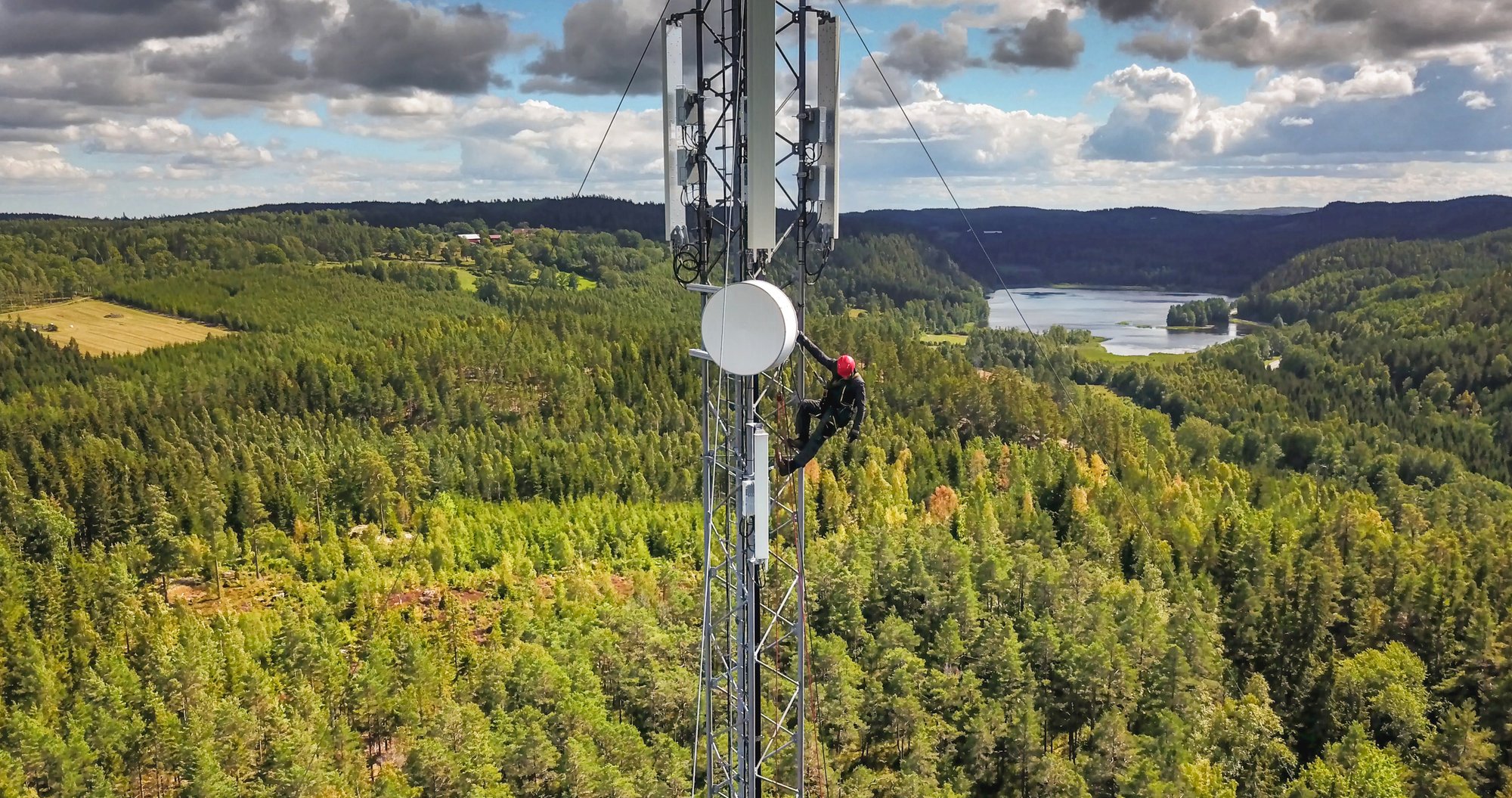
How geodata is used in telecom
Geodata is used to:
-
plan the expansion of mobile networks and fiber
-
analyze coverage and capacity
identify optimal locations for masts and nodes -
connect networks to properties and addresses
-
analyze ground conditions and accessibility
-
improve planning and expansion processes
Challenges in the telecom industry
Network planning and expansion involves several challenges:
-
requirements for rapid expansion and high capacity
-
complex permit processes
many affected properties and landowners -
need for precise geographic information
-
high requirements for coverage and quality
How Metria helps
Metria combines geodata, property information and geographical analyses to support the planning and development of telecom networks.
It makes it possible to:
-
analyze coverage and needs
-
identify the right locations
-
improve planning and design
-
create better decision-making data
Example: Network planning in practice
A telecom operator can use geodata to:
-
analyze coverage and capacity needs
-
identify optimal mast locations
connect the network to properties and addresses -
analyze land and accessibility
-
plan expansion more efficiently
The result is a more optimized network and faster expansion.
Examples of services for your business
Metria has developed a web-based service - which, among other things, connects maps with packaged and quality-assured property information to simplify the customer's work with the expansion of fiber networks to their customers.
Radio network planning
The radio network planning package is a specially developed offer for radio network planning. The map information is used to calculate coverage more accurately and cost-effectively, for example when placing radio masts.
We deliver ground models (DEM - Digital Elevation Models), ground cover data (clutter data), object heights (clutter heights) and 3D buildings. Ground models and object heights are based on national laser data. The land cover data is produced using the latest satellite data technology and the best available data from multiple sources. Our solution is seamless and comprehensive in terrain and cities.
We provide map material to our telecom customers on a daily basis. Partly through integrated solutions in existing systems and partly in a number of our own stand-alone services.
How does geodata influence decisions?
Geodata has become a central part of the planning and development of telecom networks.
By working data-driven, organizations can:
-
improve coverage and capacity
-
reduce deployment costs
-
prioritize the right investments
-
make faster and more informed decisions
Do you want to analyze coverage, plan network expansion and identify the right location?
Organisationer, myndigheter och företag inom de flesta branscher fattar dagligen små och stora beslut baserade på geodata. Informationen kommer ofta i form av exempelvis karttjänster och bilder från Metria.
Läs merMarkfrågan är central när nya nät ska byggas. Om ni idag hanterar processen manuellt och i olika system har du antagligen upplevt att det tar lång tid och att det är svårt att få allt rätt från start. Med Metria Markkoll effektiviseras stora delar i kedjan från idé och projektering till samråd, beredning, markåtkomst och förvaltning.
Läs merVåra tjänster ger er tillgång till uppdaterad, kvalitetssäkrad information från fastighetsregistret – 24 timmar om dygnet, sju dagar i veckan. Leveransen är flexibel och kan anpassas efter de behov, arbetssätt och system ni har.
Läs mer