Skip to content
iStock-1041305050 (3)

Nature and environment

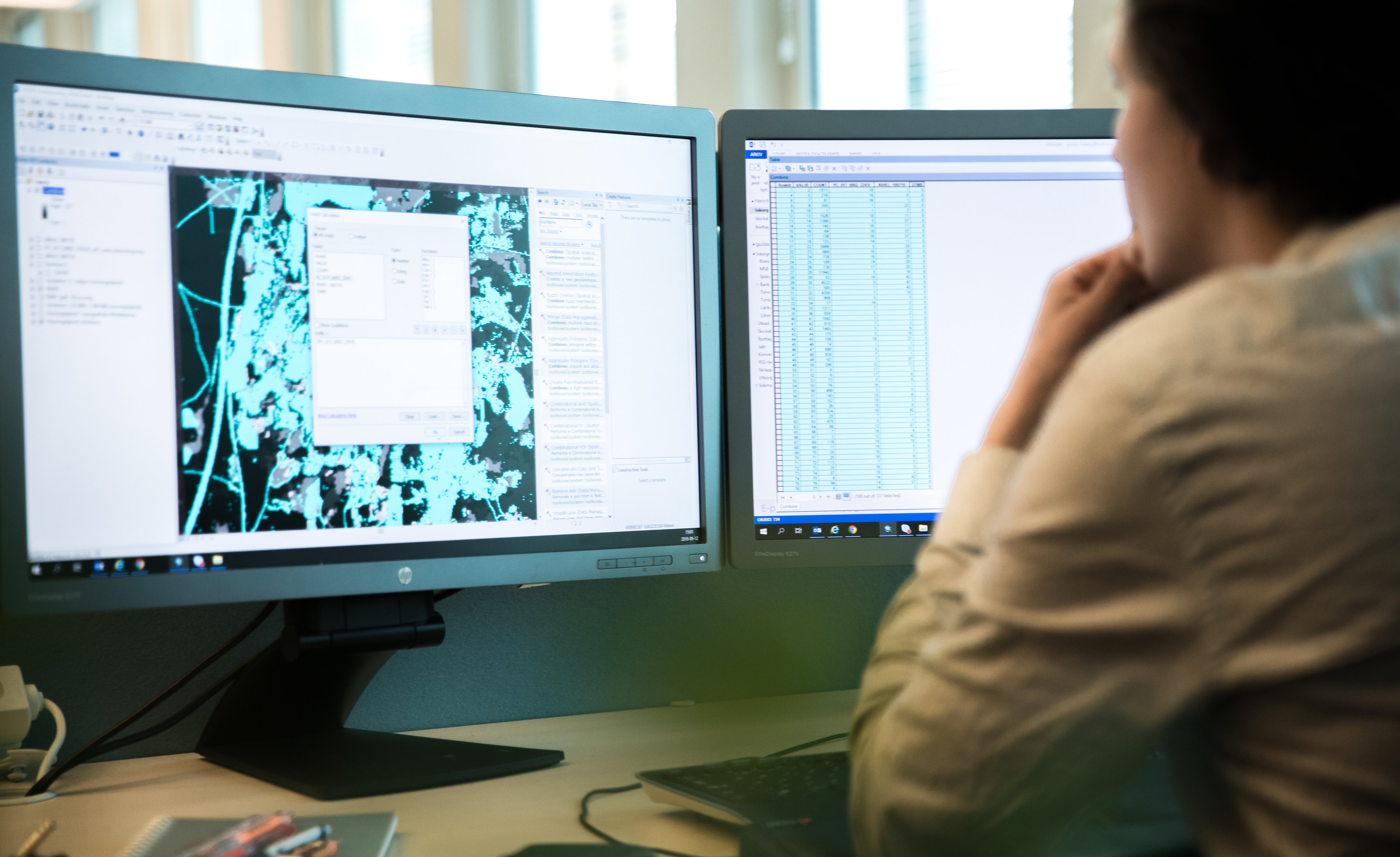
Geographic analysis - a path to a sustainable society

We work with environmental issues both with authorities and companies. We help you with all types of geographical analysis to assess how you can contribute to a good environment and sustainable land use. Regardless of whether you need support in finding the right geodata about Sweden's nature and environment, want to collect or structure information or need to do an analysis of the landscape, we can help you right. We combine existing data and know how best to supplement this to get an answer to your question.

 GIS- och fjärranalys karta-cud_72dpi
 

Examples of services

  • Analyzes of past, present, changes and trends
  • Adapt data and services according to the Inspire directive
  • Find the right geodata from authorities and municipalities
  • Mapping of soil types, habitat types and ecosystem services
  • Landscape analyzes and green infrastructure

Services adapted to your business

Landscape analyses, green infrastructure and ecosystem services

A mapping of green infrastructure is a basis for decisions about maintaining, managing and creating habitats which mean that important ecosystem functions and natural processes are taken care of. Metria has created methods and tools to analyze biodiversity as a basis for green or blue infrastructure.

The decision documents provide a picture of how areas with different values are distributed in the landscape, how they are linked together and what value they have for the green infrastructure. We can also show how this creates value for humans by mapping ecosystem services in the form of temperature regulation and water regulation.


We also make analyzes of how this has changed over time to understand the driving forces behind how it looks today and can show scenarios for how different priorities in today's land and water use lead to different future scenarios.


Land cover and nature type or biotope mapping

Regardless of whether you need information about your landholding, municipality or the whole of Sweden, we have methods to map this. We provide services to map the land cover using satellite data, aerial images or laser data.

We have experience in working with the national data of various authorities and in quality assurance and compilation of data, in order to produce information on various occurrences of valuable environments in the landscape or in the sea.


Vulnerability analyzes and risk assessments

Combining data about the environment with various things that can affect it produces maps of vulnerability and risks. Examples of vulnerability analysis are the mapping we have done for the Swedish Environmental Protection Agency in the event of emissions from shipping, flood mapping and mapping of fire risk in forests and land. Other analyzes of the impact are, for example, how the presence of old forest has decreased in Sweden or how the proportion of untouched beaches changes with exploitation along coasts and lakes.

Curious to know more?

We are happy to discuss how we can help you create the right basis for better decisions.
TOUCH
Maria Nilsson Group Manager GIS and remote analysis

E-post:

maria.nilsson@metria.se 

Telefon: 

010-121 80 82

Maria Nilsson Group Manager GIS and remote analysis
TOUCH
Oscar Lindhe Key Account Manager

E-post: 

oscar.lindhe@metria.se

Telefon: 

010-121 84 64

Oscar Lindhe Key Account Manager