Insights that lead to smarter and greener decisions
Remote sensing and GIS
Do you want to create value for the organization with geodata?
A large part of an organization's competitiveness lies in access to the right information, with the right quality, at the right time. But all data must be managed and analyzed to be transformed into valuable insights that benefit. The geographical dimension provides a unique opportunity to discover complex relationships that can provide completely new insights.
By creating, analyzing, refining and visualizing geographic data, Metria contributes valuable information to companies, municipalities and authorities. Geodata increases the understanding of important social issues and leads to smart and well-informed decisions for all types of businesses.

A combination of industry and geodata knowledge
We support a range of organizations and authorities with industry-specific analyzes of large amounts of geographic data. The result is detailed, high-quality decision support. Read some examples below.
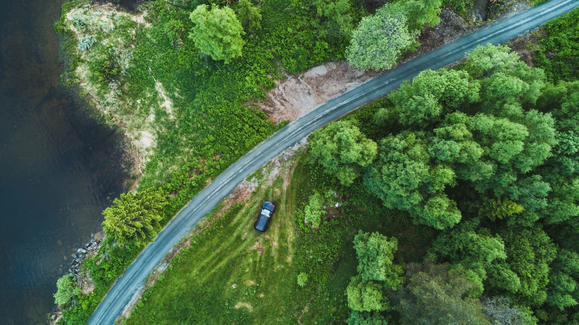
Nature and environmental analyzes support our customers in matters such as nature protection and management, biological diversity, environmental monitoring, recreation and outdoor life, climate issues and limiting the environmental impact of various types of activities.
Customers in the forest industry benefit from our analyzes to improve, among other things, management, raw material supply and consideration. The analyzes enable healthier forests, higher timber quality, reduced costs, better supply of raw materials, control and environmental considerations.
Customers in the telecom and energy sectors use geodata analyzes to optimize the expansion of new networks and streamline operation and maintenance of existing networks.

Tailor your analyses
Using, among other things, remote sensing, artificial intelligence and machine learning, Metria tailors analyzes that optimize the use of geodata in your organization. Learn more about how it's done!
Remote sensing is the analysis of data collected from satellites, aircraft, drones, etc. Remote analysis is used, among other things, for nature and environmental analyzes and optimization analyzes within the forestry, energy and telecommunications industries. With market-leading expertise in remote sensing, deep knowledge in AI and automated analysis combined with knowledge of various industries, we create value for our customers.
With the Internet of Things, cheaper sensors and increasing amounts of open data, the amount of information is exploding. Data from different sources enables more and more analyses, but also places increasingly high demands on the results. Using artificial intelligence and machine learning, we analyze large amounts of data to obtain relevant information for specific purposes.
Metria is a leader in Sweden in areas such as geodata, measurement technology, GIS and remote analysis and IT development. We offer complete solutions for your geodata management with the goal of ensuring maximum benefit and effect in the business. The solutions are always based on an analysis of your needs, normally a combination of open geodata, commercially available geodata, our self-produced analysis layers and your business data. We also help with creating new information by, for example, measuring in the field or laser scanning with drones or airplanes.
Metria works systematically to maintain good quality, information security and sustainability. We are certified according to ISO 9001 - quality, ISO 27001 - information security and ISO 14001 - environment.


New insights
Discover complex relationships - understand what has happened, what is happening now and what will happen.
Better basis for decision-making
The analysis creates an understanding and visualizes the conditions for a decision at all levels in the organization.

Increased efficiency
Streamlines and digitizes operations to create sustainable social development and increased profitability.
Contact our experts!
Knowledge articles for you
When ESG Data Becomes Business-Critical–Why Geography & AI Are Crucial
Flood risk – how can geodata help identify high-risk areas?
Metria participates in FIN-FSA guidance project on ESG data
More of our services
Inom Metria är vi experter på fastighetsinformation och geografisk data – med vårt utökade...
Läs merEtt förändrat klimat påverkar riskbilden för klimatrelaterade händelser i samhället...
Läs merThanks to extended cooperation with the credit information company Syna...
Läs merPlease feel free to contact us!
Do you want to know more or have questions? Please contact us.