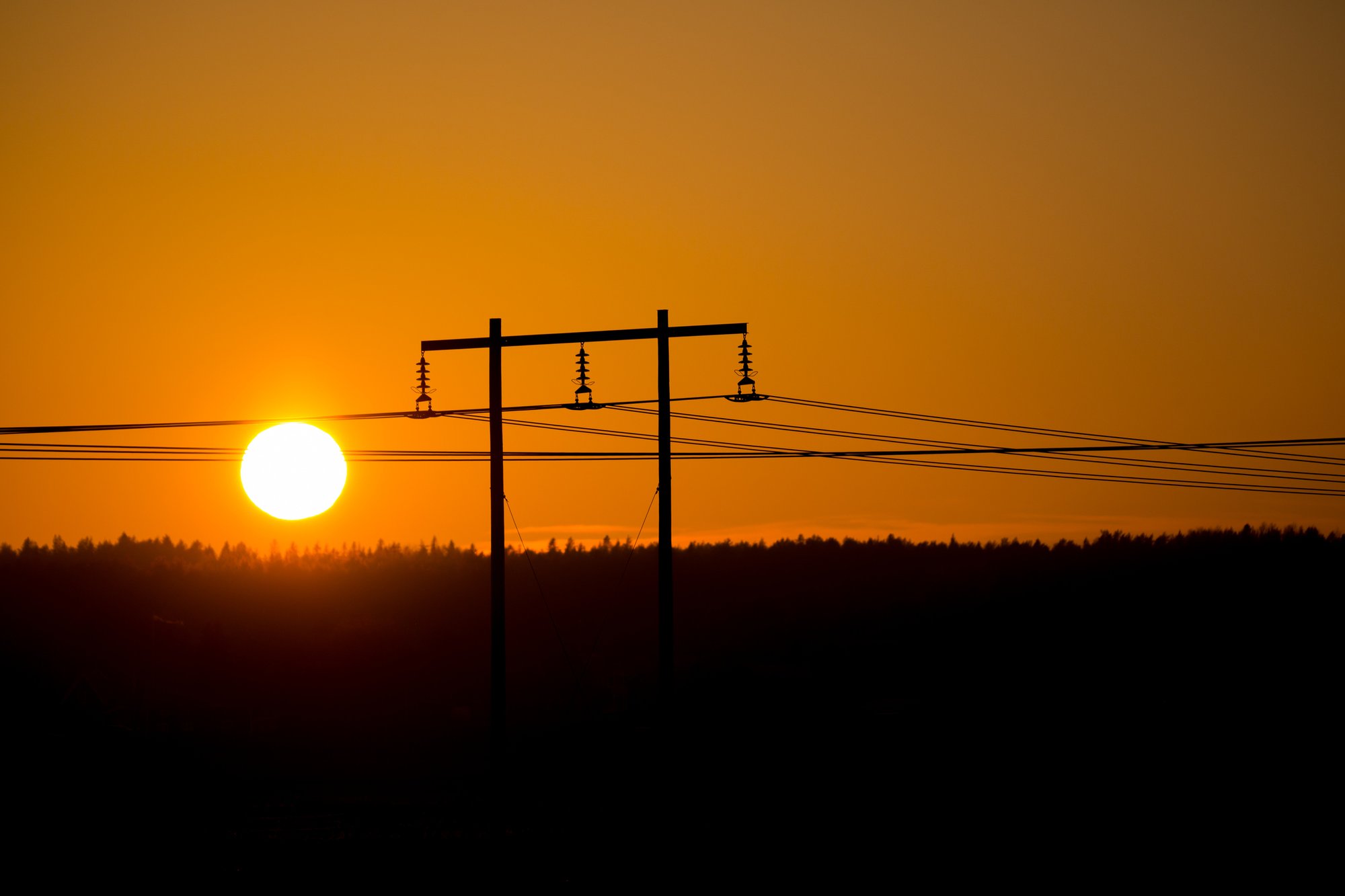
Plan energy infrastructure with geodata | Efficient electricity grid expansion
Questions & answers on how Metria helps the energy industry
Services tailored to your business
Organizations, authorities and companies in most industries make small and large decisions based on geodata every day. The information often comes in the form of, for example, map services and images from Metria.
Read moreMetria Markkoll creates land contracts, valuation reports, information letters and maps in no time for anyone involved in building and maintaining infrastructure, such as pipelines.
Read moreOur services give you access to up-to-date, quality-assured information from the Land Registry - 24 hours a day, seven days a week. Delivery is flexible and can be adapted to your needs, working methods and systems.
Read moreBy collecting, creating, analysing, refining and visualizing geodata, we help organizations make informed and sustainable decisions about investments, developments, nature conservation and much more. We also help you strategize on the need for geodata in your organization.
Read moreThrough smart management of multiple data sources, Metria can automatically put together the right information for your particular project. In concrete terms, this means that you can choose which different types of stakeholders should be included in your particular consultation group.
Read moreA changing climate affects the risk profile of climate-related events in society, including through an increased frequency of extreme weather events. Geographical information allows us to calculate where the risks are greatest and how these areas will be affected by events such as coastal and river flooding, torrential rain, fire and erosion.
Read more