Simplifies area planning and forestry operations
Metria® Timmerweb
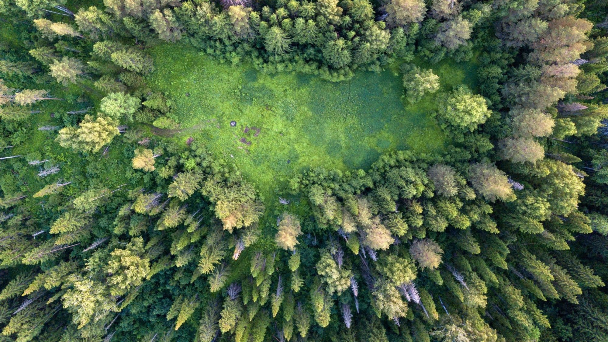
Active and effective forest management requires reliable decision-making data for interventions with the best effect
With well-planned and well-implemented forest management, you create a valuable forest that is beneficial to you and future generations. Forest harvesting can take the form of clearing, thinning, or regeneration felling and must be carried out with consideration and with the aim of creating a good forest for the future. Planning forest measures must be done well in advance and can be complicated and time-consuming without effective tools.
Geodata contributes to better insights for forest planning
Today, there are large amounts of geographic data – geodata – that increase knowledge about the entire forest planning. They support all types of decisions, from management with consideration for the ecosystem to planning the supply of raw materials and producing financial key figures. We help many forest companies and larger forest owners with our expertise in creating, analyzing, refining and visualizing geodata.
Draw, create and manage action objects directly in the map service
You can easily create and manage action objects for regeneration felling, thinning, land preparation, planting and clearing in Timmerweb. This means that you can draw action areas directly in the map, including holes for impediments. Add timber stands, roads or line objects, text and deviating surfaces. Then you enter an object instruction and generate tract directives as a basis for action. You can also create a complete digital felling notification for an action object which can then be sent directly to the Swedish Forest Agency's NEMUS system.
The map service connected to Timmerweb includes a complete property map, comprehensive orthophotos in color and black and white, current satellite images, nature conservation areas and cultural environments together with some forest information. You can also find properties by designation or using the map and then use our service FastighetsSök to get current information directly from the Property Register. Timmerweb runs via a standard browser and can also be integrated into your business systems through our interface (API). You can choose whether you want to use Timmerweb standalone with the app, Timmerweb Standalone app.

Efficient process
Digitalized process that streamlines and reduces administration for managing forestry measures.

Save time
Easy information retrieval and administration.

Increases the quality of planning
Reliable data reduces the risk of sources of error. Easy to make calculations and analyses on timber and volumes.
Who is Metria Timmerweb suitable for?
Metria Timmerweb is an excellent alternative for timber purchasing forestry companies, forest owners' associations and other actors working with forestry issues, who want to plan their actions and manage reporting to the Swedish Forest Agency in an efficient manner.
Some of our customers


Knowledge articles for you
1 min read
What is GIS, and how is geographic analysis used?
GIS (Geographic Information Systems) is technology for collecting, analyzing and visualizing geographic data. Through GIS, ...
Start Reading
1 min read
New Methodology for Assessing Biodiversity Risks in Finance
How do ecosystem changes affect credit risk, investment and long-term portfolio stability? These are questions that the banking ...
Start Reading
2 min read
Mapping the entire Swedish land cover with satellite imagery
National land cover data Sweden is growing and with it the pressure on our natural resources. In order to protect biodiversity ...
Start Reading
More services
TOUCH
Metria® GeoVis
Metria® GeoVis
Metria GeoVis är en webbtjänst för att lätt tillgängliggöra och visualisera information om din verksamhet i en digital karta.
Läs merTOUCH
Metria samråd och affärsinformation
Metria samråd och affärsinformation
Redan idag kan vi leverera pålitlig och uppdaterad information om samtliga berörda parter i en samrådsprocess...
Läs merTOUCH
Metria® Markkoll
Metria® Markkoll
Med Metria Markkoll effektiviseras stora delar i kedjan från idé och projektering till samråd, beredning, markåtkomst och förvaltning...
Läs merGet in touch with us!
Do you want to know more or have questions? Please contact us.