
An ownership list contains information on who owns the selected properties. This could be, for example, properties located within a detailed planning area, crossed by a pipeline or located within a catchment area.
There is a need to obtain information about the owners of properties in a particular area in many different contexts.
- Which property owners are affected and need to be informed about the planned water shut-off?
- How do we find the legal owners with whom we need to sign land lease agreements in connection with the expansion of our fiber network?
The map simplifies the selection
In FastighetSök with Map Support Premium, it is easy to select the properties you want a list of owners for in a map. The selection is made by drawing a geometry (circle, line or polygon) that marks the properties. It is also possible to add a buffer around the geometry to also select neighboring properties.
The map support also allows you to find the right property without knowing the address or property name.
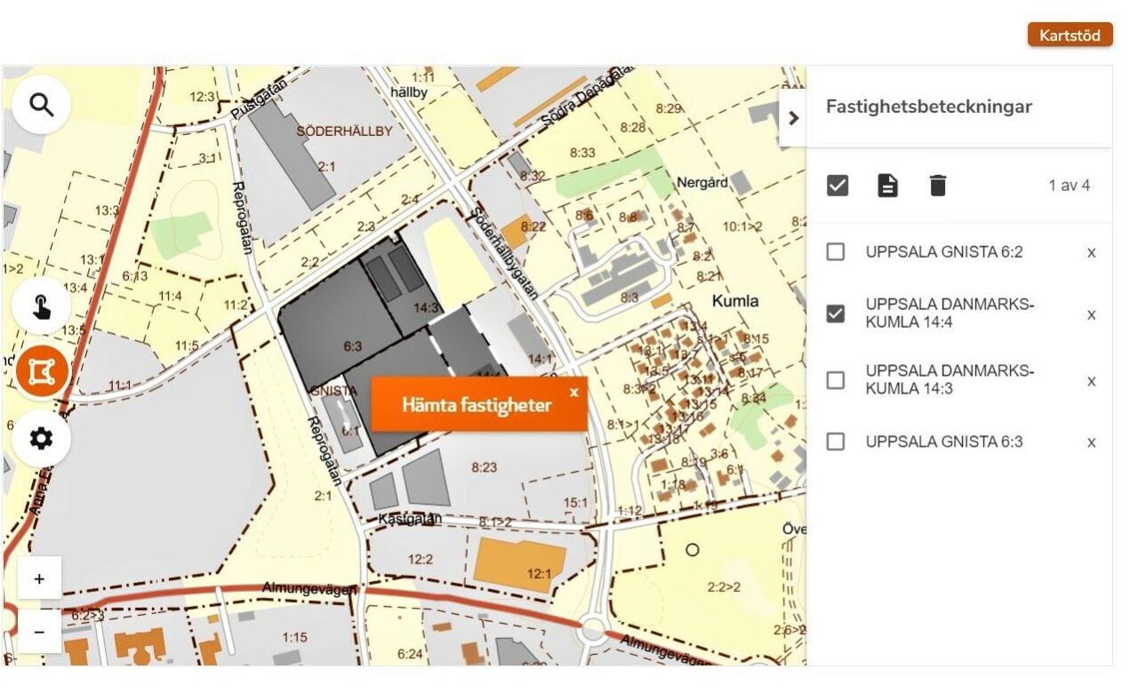
List of owners for all selected properties
Once the properties are selected, you can easily create a list of owners for the properties in question. The list of owners contains the names, social security numbers/corporate registration numbers, ownership shares and addresses of the legal owners and, where applicable, leaseholders.
More solutions
Do you need additional map data, such as the water and sewerage map or permanent housing stock, in order to make the right selection of property owners? Then Metria GeoVis may be a suitable service for you.
Or do you need an administrator tool that ensures that the land lease agreements are correct, Metria Markkoll may be the solution.