
With increasing digitization and data volumes, a large part of an organization's competitiveness lies in the availability of the right information, with the right quality, at the right time. But what does it take to have a geospatial data supply that meets the information needs of the organization?
Many organizations face challenges
The Geodata Report shows that Swedish organizations face challenges in having a geodata supply that meets the organization's needs. 58% of respondents say that they have difficulty finding the information they need for their work tasks. 60% say that they have difficulty determining the quality of the information. The consequences of this are that it is difficult to base decisions on reliable information, which can lead to wrong decisions that have a major impact on the business
The information landscape is complex
Digitization creates vast amounts of entirely new information. Many businesses are failing to sift, analyze and understand which data can create value. Success in managing big data lies in the ability to turn data into knowledge that can create business value for the organization.
"When it comes to forestry operations, harvesting, forest management and real estate transactions, it is now necessary to have access to good map data."
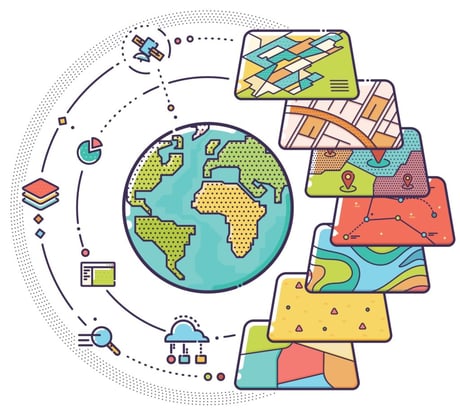
In the field of geodata, in addition to the information that the business creates itself, there is often a need for a variety of external data sources. This can be anything from real estate information to information about our environment or perhaps statistics on the population structure. The information often comes from a variety of data sources, and often a single data delivery does not solve a need - instead, several amounts of information need to be combined to solve the information need.
What information needs does the organization have?
An effective geospatial data supply that supports the organization's information needs requires a clear picture of information needs across the organization. It should document what information is needed and what quality is required. Perhaps the frequency of updates does not need to be so high? Maybe lower quality data will suffice? It is important to do this in a structured and well-documented way, perhaps as part of a spatial data strategy. Once this is in place, you can start to work in a structured way with the information assets that the organization needs.
Quality-assured and up-to-date geo-information
The basis for reliable decisions is an information supply that continuously provides up-to-date, relevant and quality-assured information that meets the information needs of the organization. This means collecting, creating, managing, analyzing and making geodata available in a structured way, whether it is information produced by the organization or from external parties.
It requires:
- procedures and processes to retrieve, quality assure and keep the information relevant and up-to-date
- structured collection, management and storage of spatial data
- central storage and quality control
- up-to-date metadata for all geodata
- information architecture to manage all information needs
- classification of the information assets to clarify the desired quality and whether there are improvements to be made.
"Because we have a large amount of geodata, many people are needed to keep it updated. Those people need to be familiarized with how, when and why geodata should be updated."
Many people subscribe to geodata as a service
Maintaining a process where the organization retrieves, quality assures and keeps the information updated often requires a lot of resources from the organization - both in terms of staff and based on infrastructure and IT solutions. By subscribing to a digital service that provides the organization with updated information, you can free up resources and streamline your geodata supply.
Read more about Metria Maps - a fast and stable mapping service that can be easily integrated into your systems
Did you know that?
- 72% believe that geospatial data could create additional value in new parts of organizations.
- 46% believe that a lack of knowledge in their organization is a barrier to getting more value from geodata
- 58% find it difficult to find the information they need for their work.
Source: The Geodata Report