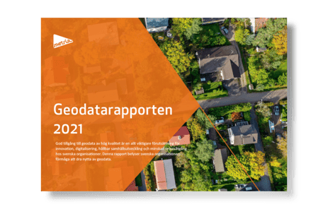
The 2021 Geodata Report shows that the amount of geodata is increasing in Swedish organizations and is increasingly seen as a strategic resource. However, many also see a challenge in accessing the geodata they need and keeping it up to date. This can lead to decisions being made on the wrong basis.
Data is the gold in a digital society
Data can be seen as the new gold in an increasingly digital society. With five billion connected people, even more things and technologies such as AI and 5G, the amount of data is growing by leaps and bounds and playing an increasingly crucial role. Most innovations today use data in different ways. Data-driven companies analyze, combine and use data to create new solutions and business models.
With digitization, geodata has become increasingly valuable and a strategic resource for more and more businesses. This applies both to those that have long used geodata, such as municipalities, public authorities and forestry companies, and to those that have not previously used it or have had limited use, such as energy companies, banks and insurance companies.
Geodata use by organizations
- 96% see an increased need for geodata in their organization.
- 22% believe they have access to the geodata they need.
- 89% face a challenge in keeping geodata up to date
- 86% are person-dependent in their geodata management
- 93% have a challenge with quality assurance and metadata setting of geodata.
Source: Spatial Data Report 2021
Increasing data volumes
Respondents in the Geodata Report state that the geodata produced by the organization itself is increasing, both through increased collection of data in the field with drones or field inventory and by digitizing analog material such as detailed plans. There are also examples of organizations that have started to capture sensor and operational data to quickly detect changes.
"The number of layers and complexity of geodata is increasing. From being mostly background maps in the past to larger and more complex data."
GIS engineer forestry company
Open data - creating new opportunities
Many (67%) say they use open data, such as satellite data and environmental information, to a great extent. A large proportion of municipalities and authorities (78%) also report accessing data through spatial data collaboration. When it comes to sharing information, almost all (92%) of public authorities report sharing open data, while a smaller proportion of municipalities (40%) do so.
Many face challenges in keeping geodata up to date
Information in an organization is the basis for making the right decisions. But it is important to be able to determine the quality of the information to understand both opportunities and limitations. Lack of procedures, structured collection, management and storage contribute to uncertainty about the accuracy of the information.
The survey shows that many (89%) have a problem with maintaining geodata. This is a worryingly high figure as organizations cannot rely on their information. As a result, they cannot base their decisions on reliable and relevant information. The consequences can be wrong decisions that have a major impact on the business.
Many (86%) also state that they are dependent on staff in their spatial data management. 78% of respondents have stated that they do not have enough GIS and spatial data skilled staff.
Find out more about what it takes to geospatialize an organization.
FACTS
What is open data?
Open data is data that anyone can use free of charge and is key to the development of many smart and useful public services. To qualify as open data, datasets need to be complete, primary, up-to-date, accessible, machine-readable, free and in an open format.


