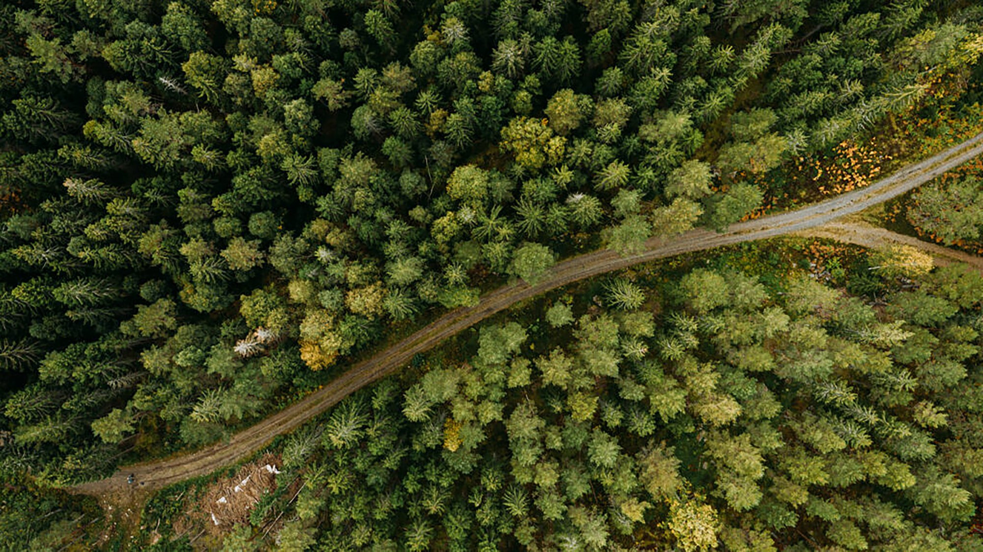
Analyze forests and make better decisions with geodata
Questions & Answers on how Metria helps the forest industry
1. How does Metria help forest owners make better decisions?
Metria transforms large amounts of geodata into valuable insights - with tools that help with planning, environmental concerns, raw material supply and fact-based economic decisions.
2. What is included in your forest analysis services?
Services such as Spruce bark beetle risk maps, ditch maps, thinning and clearing analysis, Forest analysis web service, forest reports, Forest owner map, Timber web and wetland identification.
3. How does Metria facilitate timber and forest property valuation?
The Metria Forest Analysis web service gives users access to up-to-date forestry data - volume, tree species, harvesting classes, etc.
4. How is analysis used to optimize forest management?
With analysis of laser scanning, satellite data and harvest data, services identify areas in need of thinning and clearing - enabling management that optimizes growth and value over time.
5. Do you have tools for mapping ecological diversity?
Through remote sensing, Metria has mapped continuity forests in northern Sweden - valuable data for biodiversity conservation that is also offered as open data.
Services for your business
Read more
Metria Forest Analysis
A smart and intuitive web service for analyzing forestry data. It provides fact-based decision support when valuing forest or agricultural properties.
Read more
Read more
Metria Timmerwebb
A web-based service that helps you plan timber purchases and other forestry activities, such as harvesting and silviculture.
Read more
Read more
Geodata and maps
Metria delivers up-to-date, relevant and quality-assured information to help you make the right decisions, whether it's about life, financial values or more everyday planning.
Read more
Read more
Analyst services
For example, with the help of artificial intelligence and remote sensing, we can identify which areas are at high risk of bark beetle infestation or where thinning is most needed.
Read moreKnowledge articles for you
1 min reading time
Ortofoto med bästa möjliga upplösning
Metria har tagit fram en ortofototjänst som kombinerar bilder med den bästa tillgängliga upplösningen på nationell nivå i ett ...
Read more
1 min reading time
Skred och erosion – risker du inte vill missa
Har du koll på vilka risker som kan påverka dina anläggningar eller projekt? Det är lätt att tro att det som en gång bedömdes ...
Read more
1 min reading time
Vi har kompletterat med nya hänsynskartskikt
För att arbeta ansvarsfullt i skog och mark krävs kunskap om områden med särskilda värden – från fornlämningar till biologisk ...
Read more