Metria Maps - risks
Protect your projects and investments with Metria's 'Risks' mapping package. This comprehensive package offers detailed mapping of flood, fire, landslide and avalanche risks. Ideal for safety managers and other professionals, this package provides invaluable information to identify and manage potential risks. Metria's Risk Mapping Package gives you access to the latest and most up-to-date data, helping you to make informed decisions and minimize risks to your projects. Ensure safe and sustainable development with our reliable and comprehensive map package.
Mapping of low-lying points at risk of flooding during heavy rainfall.
Fire risk in vegetation.
Map layer visualizing areas at risk of beach erosion.
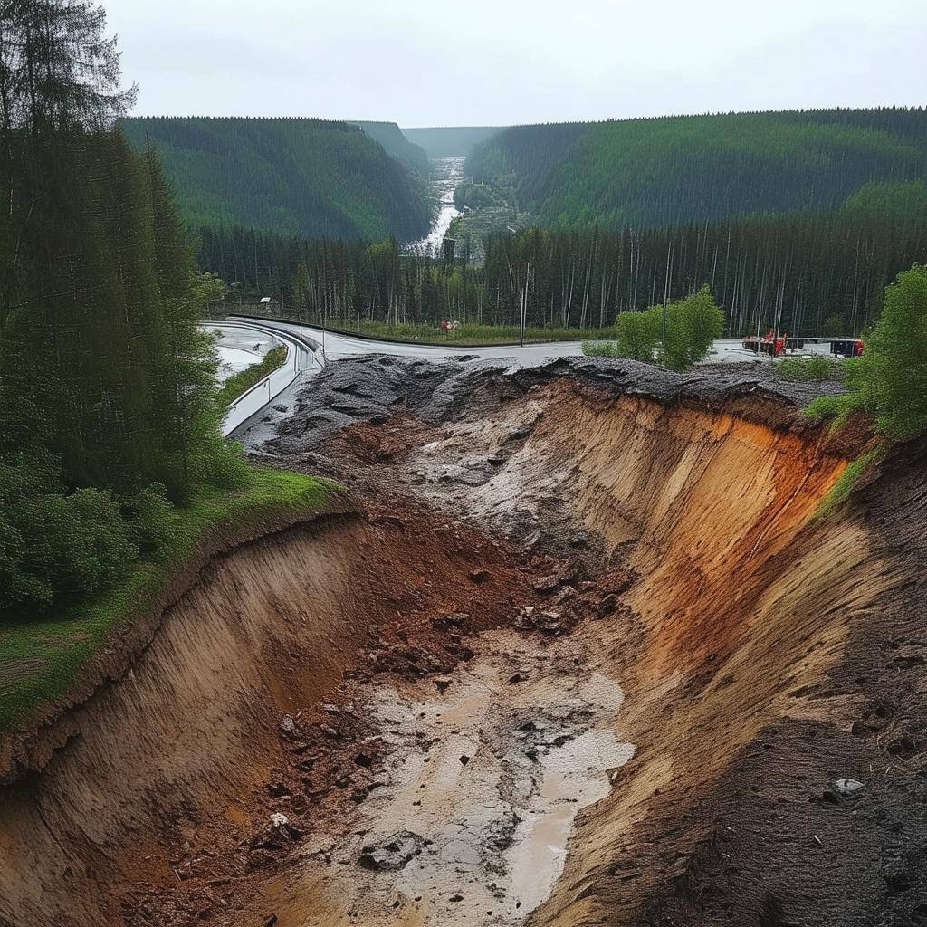
Risk of landslides.
Metria offers a mapping service to monitor and manage bark beetle infestations. The service includes detailed mapping of areas affected or at risk of bark beetle infestation.
Our map layer shows the distribution of quicksand.
The map layer helps you avoid dangerous areas and optimize your efforts when working on construction, infrastructure or environmental protection.
Get in touch with us!
Want to know more or have questions? Feel free to contact us.