

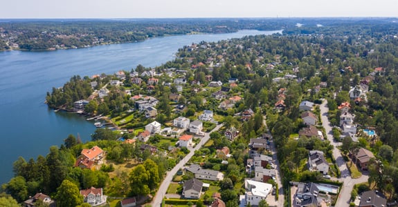
When climate risks are discussed, the focus is often on flooding. But for Swedish properties, erosion, landslides, mudslides, and changing soil conditions are also important risks to understand. These risks vary geographically and need to be analyzed based on the property’s location, soil conditions, and surroundings.
Physical climate risks are becoming a larger part of property risk
Climate change is already affecting how properties, land, and infrastructure need to be analyzed. For property owners, banks, insurance companies, investors, and urban development stakeholders, the question is shifting from whether climate change affects properties to how these risks should be identified, analyzed, and managed. Physical climate risks can affect a property’s long-term value, usability, insurability, and risk profile. This increases the need for geographic decision-making data.
To understand the risk landscape, quality-assured real estate information, geodata, and geographic analyses are needed—together, they provide a better basis for decision-making.
Flooding
Flooding is one of the most widely discussed climate risks for real estate. It can occur due to high water levels in waterways, rising sea levels, or heavy downpours.
As extreme weather events become more common, the need to understand how flood risks can affect individual properties and entire real estate portfolios is increasing. The risks vary depending on a property’s geographic conditions and must therefore be analyzed based on each property’s location and surroundings.
For properties, flood risk can affect buildings, accessibility, land use, and future investment decisions. The risk varies depending on factors such as elevation differences, proximity to water, and the topography of the terrain.
Using property information, geodata, and elevation data, it is possible to analyze flood risk at both the property and portfolio levels.
Erosion
Erosion refers to the breakdown or displacement of soil, often caused by water, wind, or changing water levels. For properties near the coast, lakes, waterways, or sensitive land areas, erosion can affect soil stability over time.
Erosion is not always as visible as flooding, but it can have significant consequences for properties, infrastructure, and land use. Therefore, it is important to analyze geographic exposure and how different properties may be affected over time.
Landslides and Slides
Landslides and rockfalls are risks that can arise when soil stability deteriorates. This can be influenced by precipitation, changes in groundwater levels, slope, soil type, and past land use.
In areas with sensitive soil conditions, climate change can contribute to shifts in the risk profile. This can have significant implications for buildings, roads, utility lines, and other infrastructure.
By combining property information, elevation data, and geographic analyses, areas with increased exposure can be identified and analyzed further.
Changing Soil Conditions
Not all climate risks involve acute events. Changing precipitation patterns, groundwater levels, and temperatures can also affect the ground and buildings over time.
This may involve, for example, increased moisture stress, changing conditions for land use, and long-term property management and investment.
Risks Vary Geographically
A key insight is that climate risks do not affect all properties in the same way. Two properties with similar value and use can have completely different risk profiles depending on their location.
Geographic location plays a major role. Elevation, slope, soil type, proximity to water, existing development, and infrastructure all influence the risk profile. Therefore, general climate assessments are rarely sufficient. Risks need to be analyzed geographically and linked to individual properties or portfolios.
Why is this important for banks, insurance companies, and property owners?
For banks, climate risks can affect collateral, credit risk, and portfolio exposure. For insurance companies, these risks can impact claims patterns, premiums, and long-term risk assessment. For property owners and investors, it is a matter of understanding which properties may be affected and what measures may be needed.
Common to all is the need for better information to support decision-making. Physical climate risks must be identified, analyzed, and prioritized.
Geodata makes it possible to analyze these risks
Climate risk analysis is fundamentally a geographic issue. Risks arise in specific locations and affect properties differently depending on their location and surroundings.
By combining property information, geodata, and elevation data, geographic risks can be analyzed at the property and portfolio levels. The result is a decision-making framework that helps banks, insurance companies, property owners, and investors understand their exposure, prioritize analyses, and make more informed decisions.
Summary
Flooding is a major climate risk, but it is far from the only one. For Swedish properties, erosion, landslides, and changes in soil conditions are also important risks to understand.
As climate risks become a larger part of risk management, credit assessment, insurance, and property management, the need for reliable geographic decision-making tools increases.
With the right combination of property information, geodata, and analysis, it becomes possible to move from a general understanding of risk to concrete decisions.
Would you like to learn more about climate risks for real estate?
Read more in our knowledge hub on climate risks for real estate: Climate Risks for Real Estate – Guides, Analyses, and Decision-Making Resources