
Since June 2020, Region Stockholm has been using the Metria Miljökoll service in the Management of Expanded Metro. The project includes measuring, analyzing and following up environmental data for environmental permits and environmental review conditions in the expansion of the metro.
|
The expansion of the Stockholm metro is a historic decision that will result in new lines to Barkarby, Solna and Nacka. The plan is for traffic to start running on the new lines between 2026 and 2030. As the tunnel is below the groundwater level, water leaks into the facility. If not managed properly, this can cause ground settlement, which in turn affects buildings, roads and service lines. Monitoring the impact on the surroundingsEnvironmental impact is monitored through control programs for groundwater, among other things, which are controlled by various supervisory authorities. Region Stockholm is required to carry out ongoing environmental measurements throughout the planning and construction phase and, if necessary, when the tunnel is in operation. This involves measuring and monitoring the impact of construction on groundwater levels, ground subsidence, seepage, infiltration and water chemistry. |
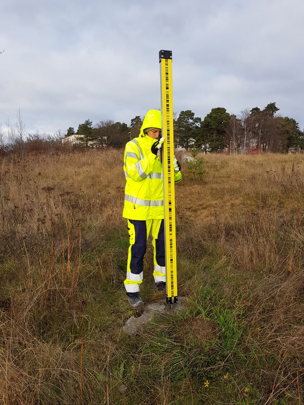
Measurement of groundwater level3, photo by Lisa Tejde from Bergab. |
Cloud service for environmental measurementsTo keep track of groundwater levels throughout the life of the tunnels and manage the measurements efficiently, Region Stockholm has procured Metria Miljökoll, which is a cloud service for environmental measurements. Continuous control and measurementWith the support of the cloud service for environmental measurements, Region Stockholm's measurement engineers monitor a number of measurement points and hydrogeologists monitor trends over time. They keep an eye on trends in environmental influences, such as whether groundwater levels in a particular area have increased or decreased. |
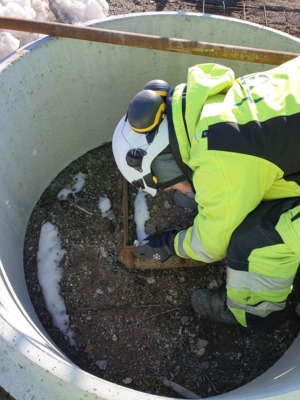
Balancing for movements, photo by Evelina Gallon at Bergab. |
|
Sara Stahloch Anders Mejner has been working with Miljökoll for Region Stockholm since the start. Sara is a GIS and Remote Analyst and has the role of system administrator, as well as being an operations specialist and representative in the development of Miljökoll. Anders has worked for a long time with the collection of groundwater levels and has been involved in making the requirements specification for Miljökoll. The environmental data that Region Stockholm measures in the metro expansion is groundwater, soil movement, water quality, seepage and infiltration with about 4800 measuring points. In Miljökoll, action levels are set that control infiltration levels with reference data from SMHI. The groundwater level determines whether the action level or alarm level is exceeded. |
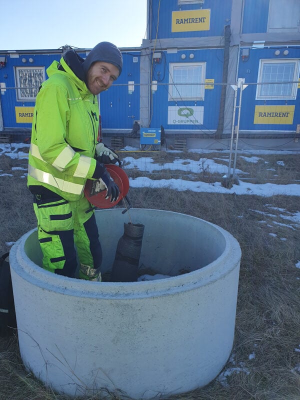
Measurement of groundwater level2, image by Lisa Tejde from Bergab. |
There are a total of almost 200 users in Miljökoll, of which about 50 are in the service daily. The users are measurement reporters in the field, permit officers who review and analyze, and observers who check and export data to the regulatory authorities.
- Miljökoll is a digitized and quality-assured system that is user-friendly and fast to work in. It is a very functional service with an efficient work process to keep control of environmental data.Measurement reporters receive alerts from Miljökoll in the field if a value is exceeded and can quickly take action,says Anders.
- "There is a lot of data in the system and many measuring points that are adjusted. Miljökoll makes it easy to structure and analyze all measurements and reports that take place per week, month and quarter, says Sara.
System development for environmental measurements in infrastructure projects
The first system used in Sweden to collect and analyze environmental data was the Swedish Transport Administration's system TMO for the construction of the Hallandsås tunnel between 1992-2015. Subsequently, the system was used and further developed for the infrastructure projects Citybanan, E4 Stockholm Bypass and the West Link.
Förvaltning för Utbyggd Tunnelbana used TMO from the start of the project, but the Swedish Transport Administration decided to close down, which then led to Region Stockholm defining and developing its own system. With that, Metria was involved in the autumn of 2019 and nine months later Miljökoll was launched in early June 2020.
- It was a record-breaking development to get a new system up and running in such a short time! Region Stockholm migrated data to Miljökoll which went smoothly. We have done a parallel development work and some minor updates during these three years that we have used Miljökoll. We have improved the work process for the permit officers' review with graphs and the observers have received new authorization. In addition, we have streamlined reporting and introduced alarms that are immediately visible when values are reported in the field," says Sara.
Miljökoll came with API (Application Program Interface) and acts as a bridge between two systems used to display measurement objects in other systems. "The API is an automated and efficient way to read in data about, for example, groundwater pipes.
- "It is positive that we have not had to make many updates to the system. We have received a system according to our requirements and then not so much new functionality but only some adjustments.
Facts about Metria Miljökoll - a digital support for environmental measurements
Metria Environmental Check is a digital support for collecting, reviewing, validating and reporting environmental data. Environmental Check aims to control, continuously measure and detect risks in various types of infrastructure projects such as groundwater level, infiltration and surface water measurement.
The service is developed to support the implementation and follow-up of control programs in order to monitor the environmental impact of, for example, an industrial activity or during an infrastructure project.
This includes measuring and controlling the impact on the groundwater level, water temperature and subsidence in the ground and water chemistry, as well as monitoring seepage and infiltration.
Metria Environmental Check supports users in setting up and implementing their monitoring programs where all measurement objects and parameters are registered, grouped and divided into appropriate measurement rounds. Measurement reporters register measured values in the field directly with the mobile phone and have alarms and reminders visualized in the service. Officers and observers review and analyze recorded measurement data and compare over time and across locations. Measurement results can be visualized in graphs with reference data in the service from SMHI.