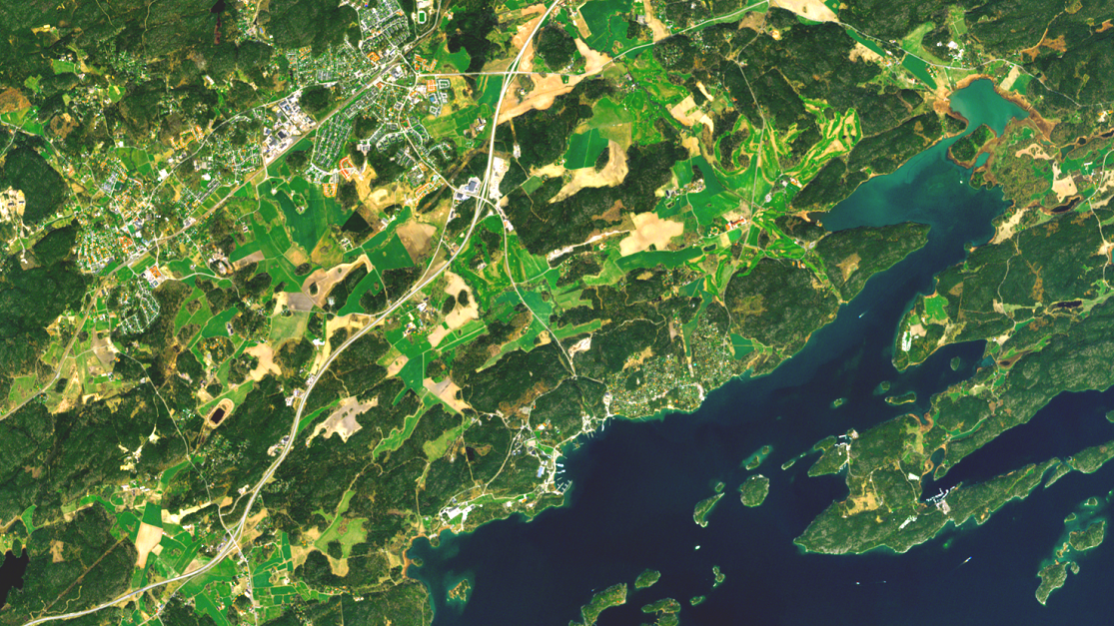
Satellite images in Metria Maps
Metria offers high-quality satellite imagery that gives you an overview of landscapes, cities and nature. Our imagery is suitable for companies and authorities that need accurate and up-to-date information for their projects.
Why choose Metria satellite imagery?
- High resolution: Our satellite imagery is of the highest quality available, making it easy to identify and analyze changes.
- Up-to-date data: We update our imagery regularly, meaning you always have access to the latest information.
- Wide range of applications: Whether you work in forest management, environmental monitoring, agriculture or real estate development, our satellite imagery can give you the information you need to make informed decisions.
- Easy access: Through our user-friendly platform, you can easily search, purchase and download the imagery you need.
Articles in the knowledge bank
2 min reading time
Från satellitdata till beslut – så upptäcks förändringar
Satellitdata används idag inom allt från klimatanalyser och samhällsplanering till energi och infrastruktur. Men hur går det ...
Read more
1 min reading time
När klimatrisker möter fastighetsinformation blir besluten bättre
Klimatrisker handlar inte bara om geografi Översvämningar, skyfall, värmeböljor och andra klimatrelaterade händelser påverkar ...
Read more
3 min reading time
Vilka klimatrisker påverkar svenska fastigheter mest?
När klimatrisker diskuteras handlar det ofta om översvämning. Men för svenska fastigheter är även erosion, ras, skred och ...
Read more
More of our services
TOUCH
Metria® Climate Index Real Estate
Metria® Climate Index Real Estate
A changing climate affects the risk profile of climate-related events in society...
Read moreTOUCH
Metria company information
Metria company information
Thanks to increased cooperation with the credit information company Syna...
Read moreTOUCH
Metria market information
Metria market information
How can you most effectively find new customers? Who should you target with your next marketing offer?
Read moreGet in touch with us!
Want to know more or have questions? Feel free to contact us.