Metria Ground Elevation Model Grid1+
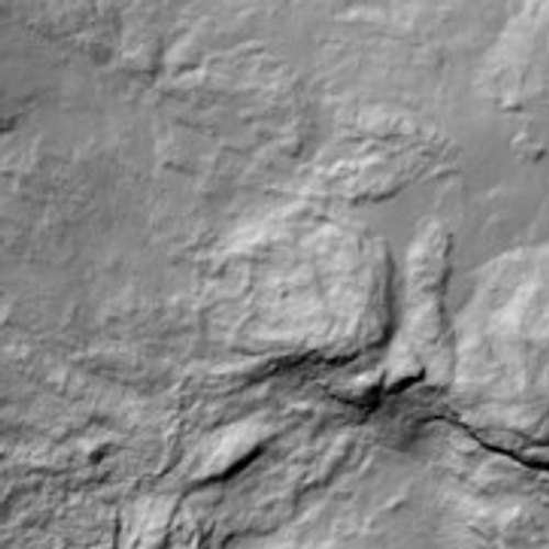
Ground elevation model grid1+ is a gridded terrain model with coordinated elevation points in a regular grid with 1 meter resolution and high elevation accuracy.
Product description 
Timeliness: 2009 onwards
Delivery format: ESRI ASCII-Grid, ASCII-Tab
Resolution: 1 meter
Elevation data ground elevation model consists of a ground elevation model (DTM) in grid form with 1 m resolution. With laser scanning as the primary method, height data is collected and processed. From the ground classified laser points, a terrain model is produced in the form of a grid, also called raster or grid.
Grid1+ is delivered in two formats, a raster format and a tabular format. The raster format is ESRI ASCII-Grid and the tabular format is a coordinate file with one point per line.
Examples of uses:
- to generate contour lines and to produce digital terrain models depicting the landscape in three dimensions
- calculations and analysis for presentations of elevation layers and terrain shading in maps
- gravity determinations
- geometric correction of satellite images
- climate adaptation measures, such as flood mapping
- detailed planning and design, building permits near water
- contingency planning for climate and environmental change
- optimal placement of wind turbines, mobile phone masts
- orientation maps

Quickly
Immediate delivery in the formats you want.

It's easy
Order via the map or product card.
Available at all times
Always open, pay by card or invoice.
How to shop in our e-commerce
To shop in our e-commerce, you can choose between;
- payby card with access to raster products and reports and pay per purchase by credit card. You create an account directly in the service and you are quickly up and running.
- sign an agreement and become a premium user and you also get access to vector products and the option to choose more formats. You pay by invoice or card. An agreement costs SEK 1,500 per year and an initial fee of SEK 500.
If you have any questions or would like to sign a contract, please contact kundservice@metria.se or one of our sales staff.
Get in touch with our experts!
E-mail: kundservice@metria.se
Telephone: 010-121 80 00
More of our services
A changing climate affects the risk profile of climate-related events in society...
Read moreThanks to increased cooperation with the credit information company Syna...
Read moreHow can you most effectively find new customers? Who should you target with your next marketing offer?
Read moreGet in touch with us!
Want to know more or have questions? Feel free to contact us.


