The Energy industry
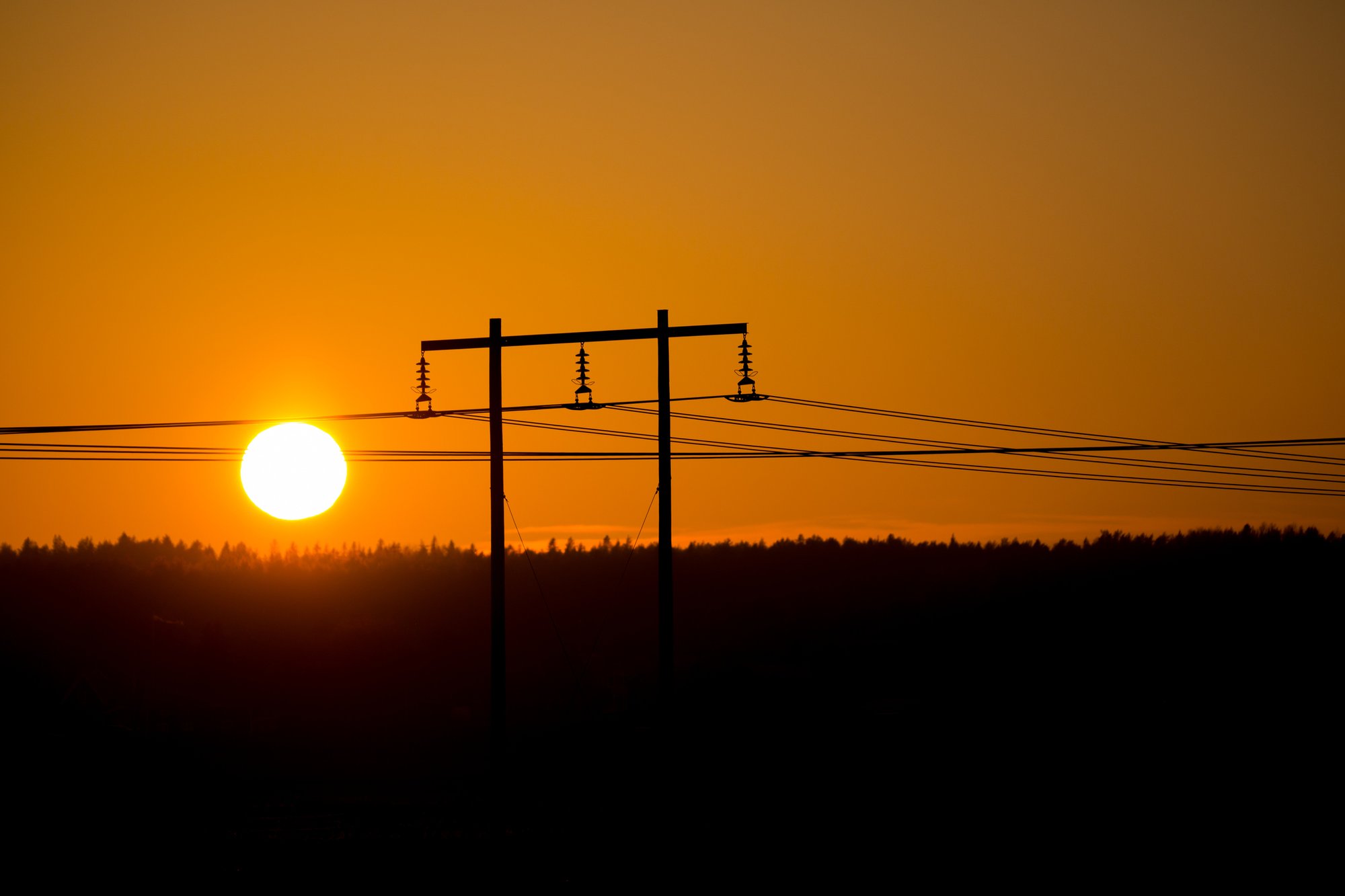
We are streamlining the expansion of the electricity network
We help you make smarter, safer and greener decisions
In order for Sweden to reach its goals with the digitalization of society, we need to place great demands on an efficient expansion process and unbroken digital chains. Geographic information is a core component in all parts of the process, from investigation, permitting and design, to preparation, execution and management.
Metria offers a wide range of GIS services that provide energy companies with maps and property information for integration into other operational systems. Metria Maps and FastighetSök are two of our most used map services. Metria Markkoll is a portfolio of ready-made IT services that provide support to administrators and decision-makers in everything related to land issues. We are also experts in GIS analyses, remote sensing, geodata and property and business information. and performs consultancy assignments in all these areas.
A combination of industry and geodata knowledge
We support a range of organizations and authorities with industry-specific analyzes of large amounts of geographic data. The result is detailed, high-quality decision support. Customers in the telecom and energy sectors use geodata analytics to optimize the rollout of new networks and streamline operation and maintenance of existing networks.
Efficient expansion process and unbroken digital chains require up-to-date geographic data
In order for Sweden to reach its goals with the digitalization of society, we need to place great demands on an efficient expansion process and unbroken digital chains. It also places great demands on accurate and up-to-date geographic data as well as several other information areas such as real estate, business and market information, of reliable quality in an easily accessible format.
Metria can now include large amounts of company information in our existing products and deliverables
We have expanded our collaboration with the credit information company Syna as part of Metria's ongoing expansion of information volumes and thus have the opportunity to include large amounts of company information in our existing products and deliveries. For you as a customer, this means that we can provide a greater part of your information needs in order to be able to make the right decision more easily and cheaply on well-informed grounds.
For example, if you need to know which companies are active in a certain area, or on a specific property, as well as retrieve contact details for the companies (or private individuals), we are happy to help with both area withdrawals and piecemeal calls per property. It could, for example, be about identifying stakeholders within a certain area or project. If you have a recurring need to get a picture of business operations in different areas, we recommend our upcoming business map layer delivered in our map service Metria Maps.
Services adapted to your business
Organisationer, myndigheter och företag inom de flesta branscher fattar dagligen små och stora beslut baserade på geodata. Informationen kommer ofta i form av exempelvis karttjänster och bilder från Metria.
Läs merMarkfrågan är central när nya nät ska byggas. Om ni idag hanterar processen manuellt och i olika system har du antagligen upplevt att det tar lång tid och att det är svårt att få allt rätt från start. Med Metria Markkoll effektiviseras stora delar i kedjan från idé och projektering till samråd, beredning, markåtkomst och förvaltning.
Läs merVåra tjänster ger er tillgång till uppdaterad, kvalitetssäkrad information från fastighetsregistret – 24 timmar om dygnet, sju dagar i veckan. Leveransen är flexibel och kan anpassas efter de behov, arbetssätt och system ni har.
Läs merGenom att samla in, skapa, analysera, förädla och visualisera geodata hjälper vi organisationer att fatta välgrundade och hållbara beslut om investeringar, exploateringar, naturskydd och mycket mer. Vi hjälper er också med strategier för behovet av geodata i organisationen.
Läs merAtt visualisera, kartlägga och analysera geodata systematiskt är en hjälp för att fatta mer underbyggda beslut och få en djupare förståelse för verksamheten. Med system och lösningar som digitaliserar, effektiviserar och gör värdefull information tillgänglig i organisationen säkerställs den konkurrenskraft som krävs idag och imorgon.
Läs merEtt förändrat klimat påverkar riskbilden för klimatrelaterade händelser i samhället, bland annat genom en ökad frekvens av extremväder. Med geografisk information kan vi räkna ut var riskerna är som störst och hur dessa områden kommer att påverkas vid händelser som kust- och vattendragsöversvämning, skyfall, brand och erosion.
Läs merNyfiken på att veta mer?
Vi tar gärna en dialog om hur vi kan hjälpa er att skapa rätt underlag för bättre beslut.E-post:
Telefon:
010-121 84 33